Tuesday, December 31, 2024

Sheets in the Wind

We made it about four miles up Sheet's Gulch before we encountered a pool we couldn't cross.  EDO said that we'd probably need to get down into the water.  It was in the forties, so not too cold, but there was a strong north wind.  We would have needed to strip below the waist, ford the pool, climb over a five foot chock stone, and then get dressed again.  Plus, we were on our way out and had to come back.

So we turned around and tried a side canyon.  It developed into an hour long foray, but got us thinking about side canyon jumbles.  If you wanted to put some time into it, there were dozens of places that you could try scrambling to the rim.  The other benefit of a shorter hike is that we had time to goof around at the arch.

Sunday, December 29, 2024

Fern's Nipple

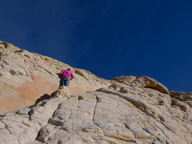
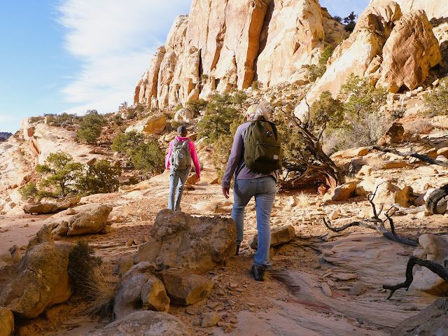
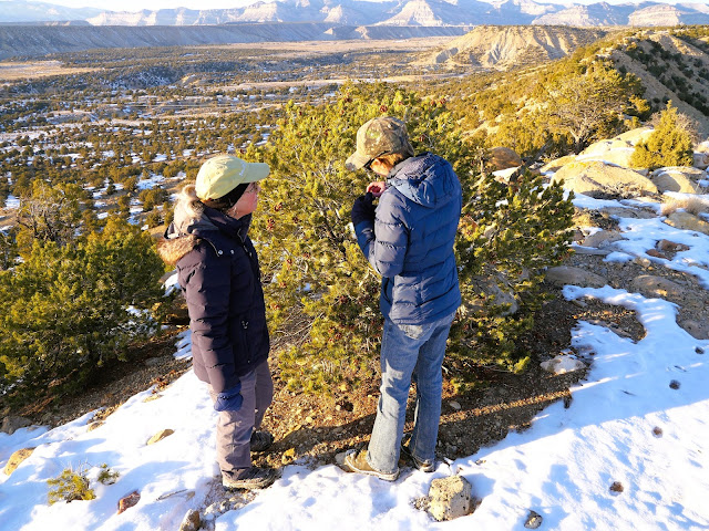
We agreed, though I'm not sure that VSO was committed to it, to try the alternate route up Fern's Nipple.  By alternate, I don't mean another trail, but full-on, backcountry route finding.  It took us more than three hours to get to the top (reach the teat, ahem).  (I'm adding a second image, below, to illustrate the summit climb.)

At that point, I was seriously worried that we wouldn't be able to make it back to the Chev before dark.  Fortunately, EDO saved the day by finding the tourist route and leading us down.  Six to seven miles across 3,200 vertical feet of rugged backcountry in six hours.  We reached the truck by 5:30p.  I was impressed.

Spring Gulch

In 1931, Noel Morss published his "Report on the Explorations under the Caflin-Emerson Fund, 1928-1929," in which he described numerous Fremont sites studied and at least partially excavated by a team from Harvard University.  Many of the sites are in the vicinity of the Fremont River and the Waterpocket Fold, which are near (or in) Capitol Reef National Park.

Yesterday, VSO and I went into Spring Gulch to see a number of the rock shelters that Morss included in his paper (and probably some that were not).  We noted potsherds, stone tools, ground stone, and possible pictographs.  It was a nice day for late December and we made it a couple of miles upstream (and back) before dark.

Thursday, December 26, 2024

Mudded Out

Ever since we got the Thanksgiving snow storm, the roads in the Swell have been muddy.  Yesterday we planned a trip to Short Canyon, but didn't make it.  I chickened out.  In some places it is snotty enough that you could wind up in the ditch.

So, we wandered some of the broken boulders beneath the Molen Reef looking for pictographs.  (We didn't find any.)

Wednesday, December 25, 2024

Steep Ground

I was planning to drive to the saddle between Horse and Range, but the Chev skidded out on a steep switchback in the snow.  So, I parked it and we walked from there.  We probably could have made it to the saddle in about an hour, but decided to dive off onto the ridge above the road after about 40 minutes.

It was a good choice.  It took at least two hours to cover the ridge and slide down the shoulder to the road.  The ground was steep but, aside from one ill-advised fifth-class move that nearly left me with a cracked skull, we managed to keep our footing all the way down.

Tuesday, December 24, 2024

Break Out

We were just beyond the mouth of Saddle Horse Canyon and it was past 2p.  That doesn't sound very late, but it had taken us two hours to walk there and two hours to drive there, so we were looking at being back in Price by 6p (at the earliest), which is well after dark at this time of year.  On EDO's Avenza map, it showed a nearby foot trail running straight up the canyon wall to the rim, which could possibly turn our return slog into a short loop.

I was somewhat doubtful that the trail existed, and even more doubtful that we could find it in the snow.  But, there it was:  An old horse trail that zig-zagged up the slickrock and put us in position to loop back to the Chev by 3:45p.  We were in town by 5:30p.

Monday, December 23, 2024

Goodwater Run

Out at the Wedge, the BLM has built the Goodwater Trail, a 14 mile non-motorized trail along the rim.  My understanding is that it is a popular trail and, given all the dog shit, graffiti, and ad hoc fire rings, I don't doubt it.  Which is why I agreed to go only on the first Sunday of winter.

EDO wanted to run from the west trailhead to the east trailhead and I was the shuttle driver.  In the event, we saw just one overlander bro (with dog) and he was leaving.  EDO finished in two and a half hours.  I asked if she would want to do it again (on another day) and she said, "Yes."  Might need to find another shuttle driver.

Saturday, December 21, 2024

Horse Thief

We've been out here before, looking for the route from the Smith Cabin to the top of the Horse Thief Trail.  Today we found it, all three of us walking from the road to the saddle in two and a half hours.

Coming from the other side, EDO and I had climbed from the river to the saddle two years ago.  Now we've reconnoitered both halves and lack only a committed shuttle driver to set us up for a through hike.

Sunday, December 15, 2024

Wrong Again

After all the snow we saw yesterday, I thought it was time to set the first track of the season.  I drove to my favorite ski ridge at the top of Indian Canyon with the Karhus in the Chev.  And then I went for a walk in my ski boots.

Saturday, December 14, 2024

Cmas Tree Adventure

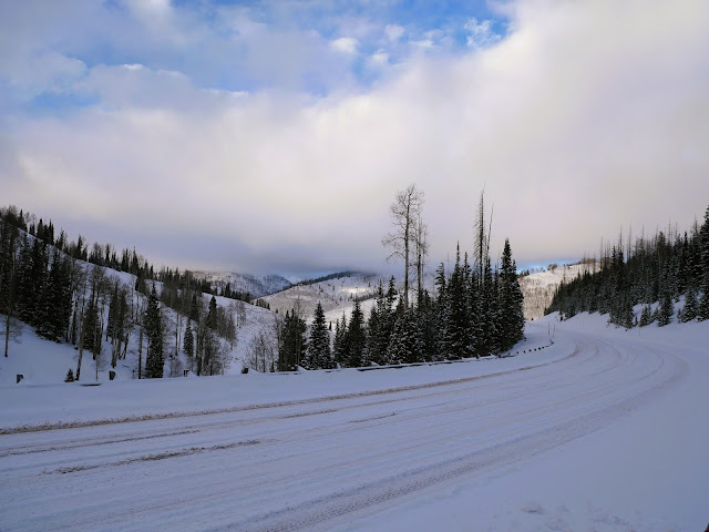
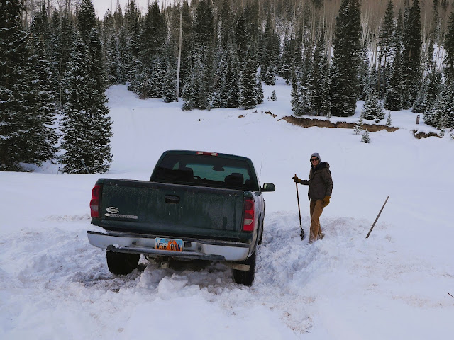
Before we left I assured VSO, "there is no new snow, we will not be post-holing, we will be able to park near any tree we want to cut."  In the event, I was incorrect on all counts.  There were eight inches of new snow on the highway (above), we were not able to park (but instead got stuck in a frozen plow berm, below), and were forced to post-hole for an hour before we found a tree to cut.

Worst of all, once we decided on a tree, VSO's picture of it made Rural Ways look like a wild-eyed serial killer (below).

Saturday, December 7, 2024

Perfect December Days

In Price, the north wind usually blows all day at 30 MPH.  For the last week, though, it has been still.  And sunny.  And mid-forties.  These are very nice conditions.  If you're working in the woods in forty degree weather, and the sun is on you, and the wind isn't blowing, you can do it in a flannel shirt.  There is currently a little snow at 7,200 feet, but it, too, is benign.

Saturday, November 30, 2024

South Dead Dog

This afternoon, we went out to the South Dog and across the Dead Dog Spine.  The nights have been cold, but the afternoons have been bright, sunny, and clear.  It was a very nice outing except that EDO's toes were cold.  Time for the Sorrels!

Thursday, November 28, 2024

Gray Canyon

The latest storm brought less snow to the east of Price.  So we went to Green River, drove to Nefertiti, and walked upstream from there.

There were a few muddy spots but it was another very nice day.

Wednesday, November 27, 2024

Failed Canyon Hike

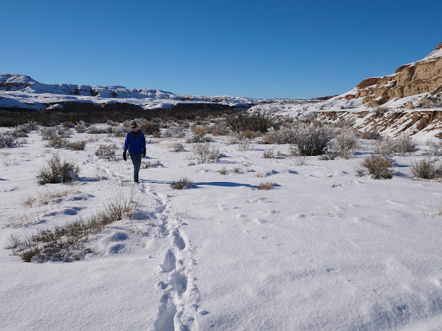
Today we planned to hike some of the deeper canyons around the San Rafael River.  There wasn't much snow in Price, but by the time we got to the Dutch Flat Road we were plowing through about eight inches.  Eventually I stopped driving at a deep ditch where I was worried about the Chev getting stuck.  We weren't near the trailhead, but decided to try going cross country.  As you can see (above), we did make progress towards the canyon.  But, it was a trudge.  After a mile and a half we turned around.  A failed hike.  Nice day, though.

Monday, November 25, 2024

Not Glamping

While the reading may seem somewhat high-brow, this is definitely not glamping.  I am experimenting with the "hot tent" as a way to spend some of the fall and winter in the woods.  Unfortunately, the cheap teepee style tent is only tall enough for me to stand up directly in the middle, which is where the tent pole and stove pipe live, so I'm spending my time shuffling around the edges bent over like an old man.  Plus, there is no floor, so I'm sitting in the dirt.  Definitely not glamping.
Saturday, November 16, 2024

Five Hundred Years On

As may be apparent, my current project area is a pine site near Emery, Utah.  There are many younger trees, but the oldest material is more than 500 years old.  I have a few pith dates from dead wood cross sections from the 1400s (below), but the oldest live tree I've found is this one (above).  It is also the largest at 41 inches.  I've been unable to conclusively cross date the cores, so the true dates are probably plus or minus five, but my estimate is that the tree germinated around 1520.

Saturday, November 9, 2024

Hard on the Tools

I went to my project area at the top of Link Canyon yesterday.  I was coring my first tree, the second core, when I got the increment borer stuck.  I eventually retrieved it from the tree, but it was completely plugged.  Useless until I can drill it out.  Oh well, at least I had the saw.  On my second cross section, a stump, I got through it only to find a piece of rebar in the wood.  Great.  Now the chain was completely dull, and I didn't have a spare.  Two hours from Price and the tools are shot.  It goes to show that, when you're working in ponderosa, you need to have two or three of everything.

Saturday, November 2, 2024

Stumped

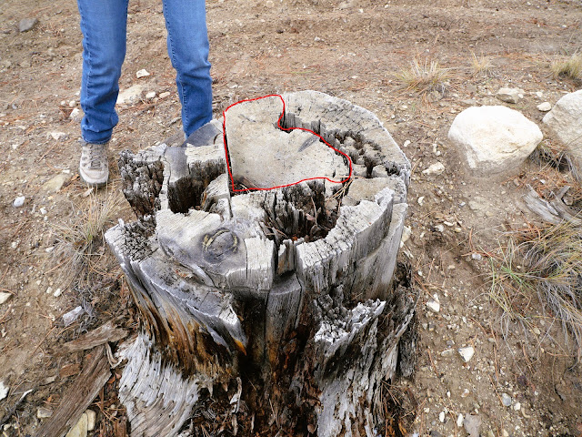
It has been quiet at this newspaper for a while.  One of things I've been working on is the dating of a stump from a (possibly) culturally modified tree (ponderosa pine) from Joes Valley.  Twenty-years ago, one of the local archaeologists cut a piece of wood from a dead tree that they identified as a CMT.  They placed it in a cardboard box and noted that it could provide evidence of the dates of Native American peeling.  I found it last week.  So far as I could tell, it had not been touched for two decades, and certainly no one had tried to date it.  I sanded it and went to work (above).  But, as archaeologists like to complain:  It was out of context.  What part of the tree was it?  To work that out, I joined our current archaeologist in locating the stump last week (below).  The red line shows where the wood had been removed.  For anyone interested in dating a piece of dead wood, that wasn't the best way to do it.  But, just knowing how it was cut has helped me a lot.  I now have a tentative pith date of 1585.

Saturday, October 19, 2024

White Pine Lake

Last time we tried to go to White Pine Lake, VSO was just five weeks removed from major surgery at St. Mark's Hospital.  I was worried about her and turned her around early . . . so she didn't quite see the lake.  Today, she made the seven and a half mile out and back in three and a half hours.  And, I have proof:  She is one of the two supermodels below.

First Time; First Snow

Yesterday, EDO took me to the Wellsvilles.  I've never been there before, so it was good to visit.  Because the weather was cold and wet and because the parking lot was closed, there were only two other people out there, and we didn't see anything but their tracks.  It was nice.  Nice and quiet, which is probably not the usual case anywhere in the Cache Valley.

EDO said that she heard somewhere that the Wellsvilles are the steepest range in the state.  We know about the Pahvant, but I don't doubt that this is similar.  We walked for 75 minutes and it was straight uphill the whole way.  The idea was that we would make it to the ridge, but the trail was slippery and the clouds were low:  It was going to be dark before we could top out.  We went down instead.